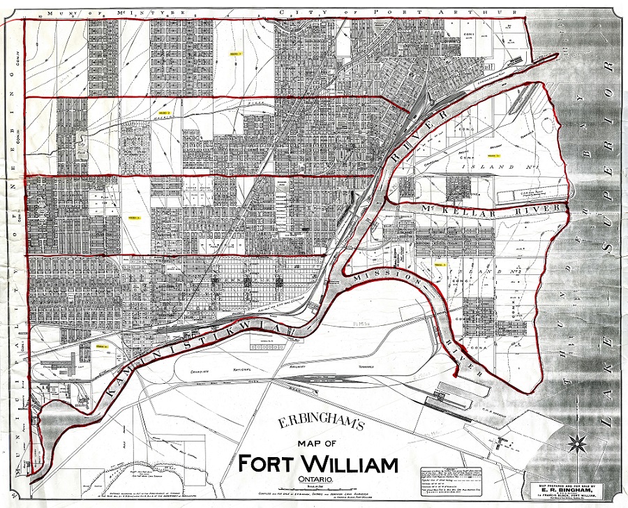
This map of Fort William was prepared in 1913 by E.R. Bingham and the Dominion Land Surveyor. This map includes municipal wards, drawn on at a later date.
- If you require a higher resolution, please contact the Archives.
This website uses cookies to enhance usability and provide you with a more personal experience. By using this website, you agree to our use of cookies as explained in our Privacy Policy.
Maps of Fort William, Port Arthur, and Thunder Bay at various times in those cities' history are available at the Archives. A selection of historic maps are scanned and can be viewed on this site.
This map of Fort William was prepared in 1913 by E.R. Bingham and the Dominion Land Surveyor. This map includes municipal wards, drawn on at a later date.
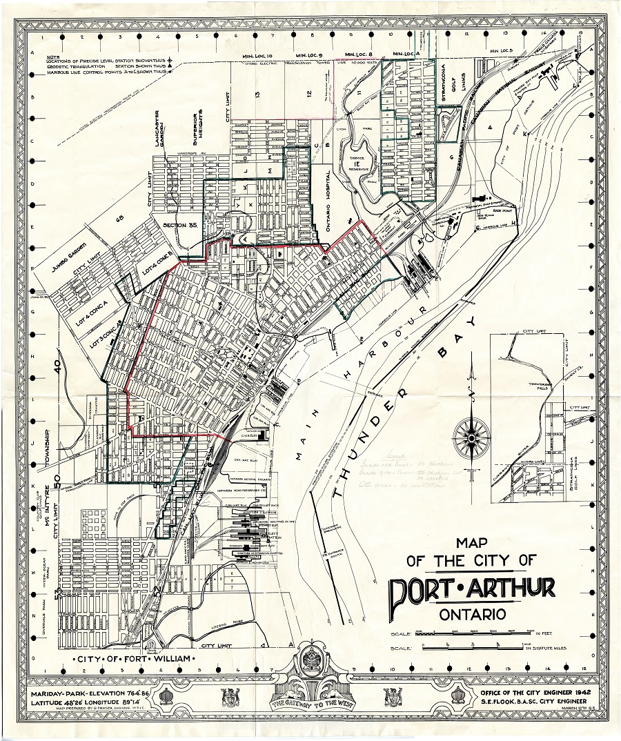
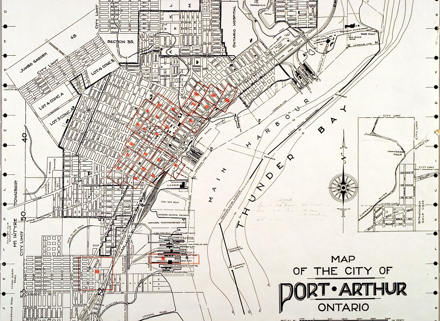
This map was produced by the Office of the City Engineer, Port Arthur, in 1942.
Accession #1993-23
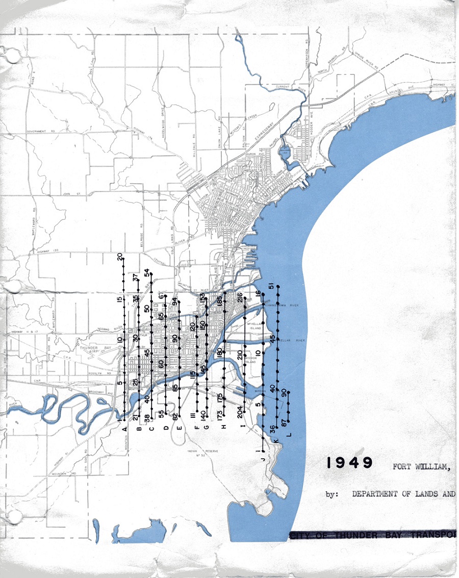
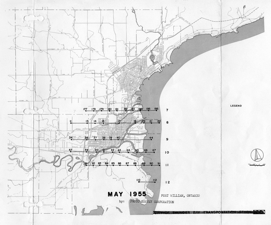
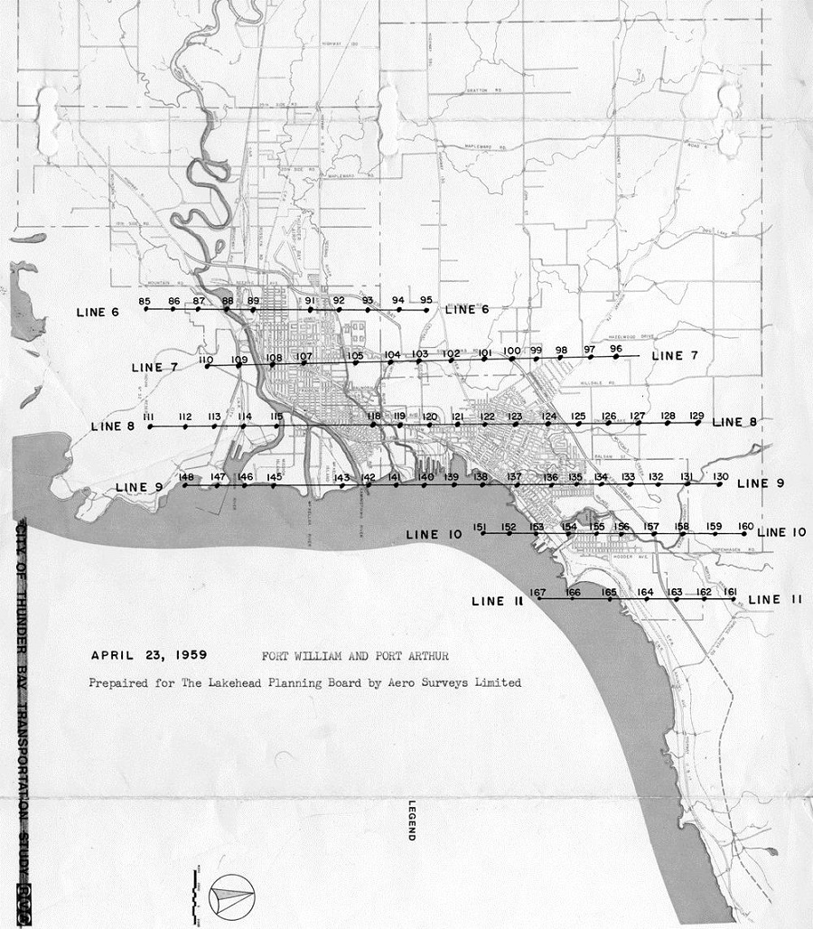
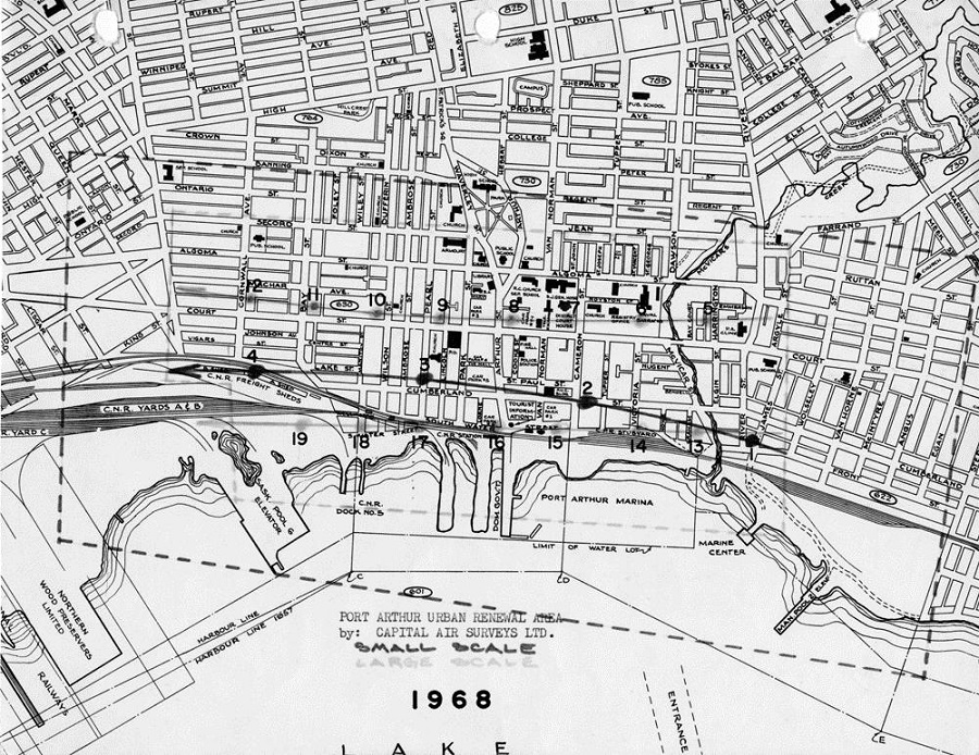
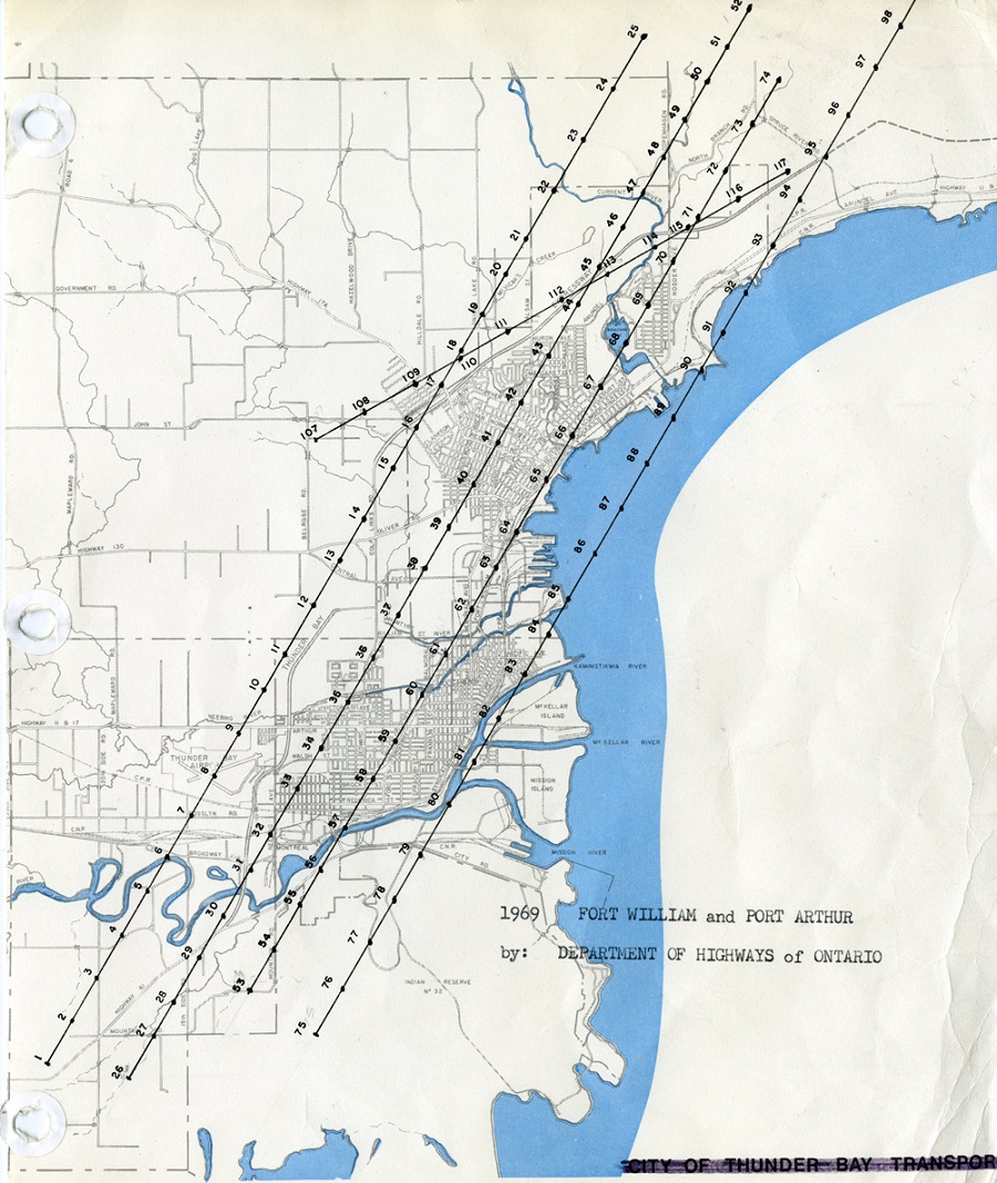
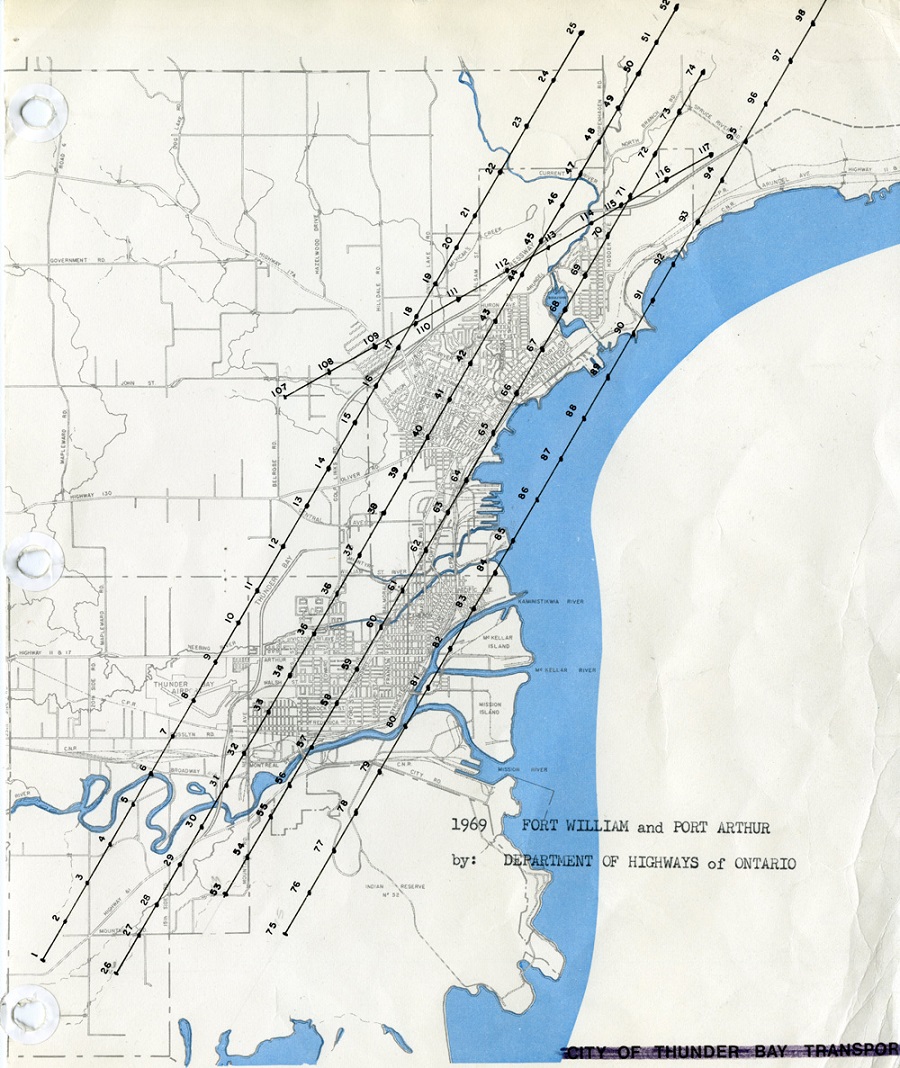
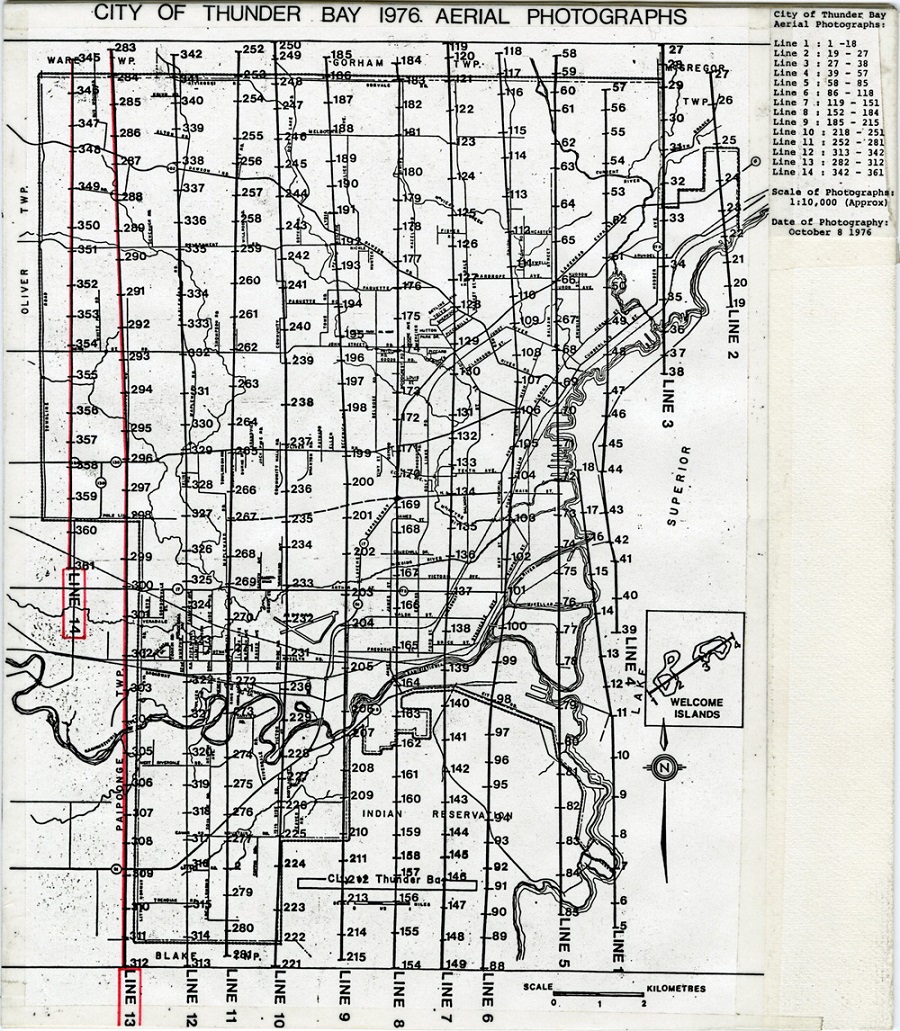
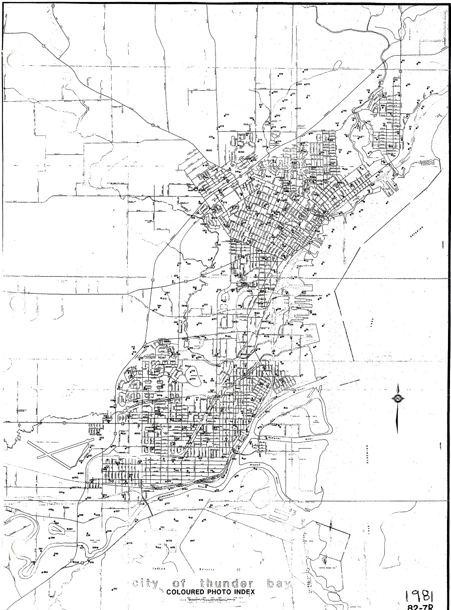
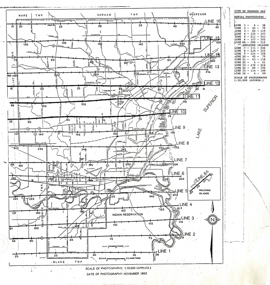
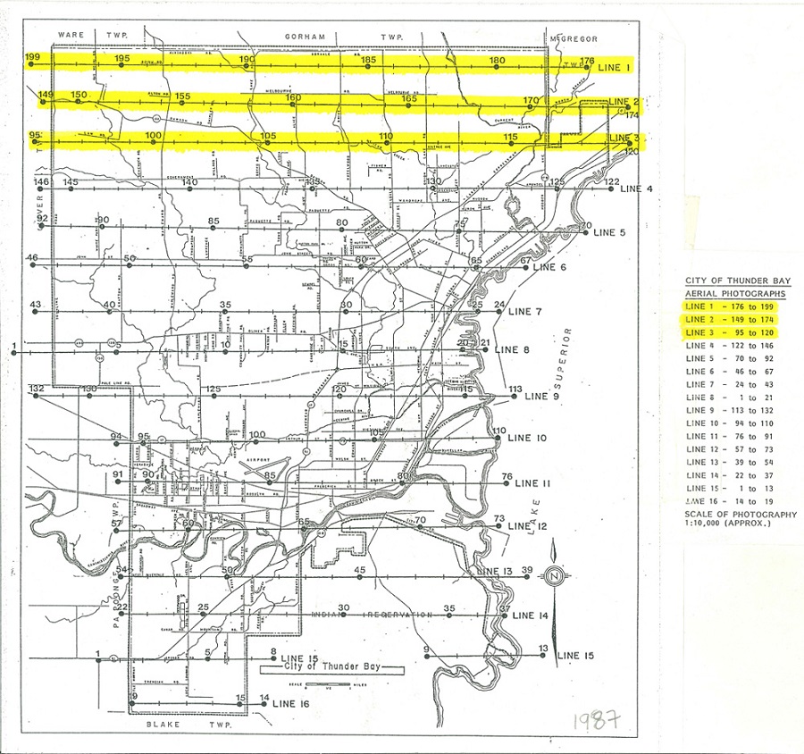
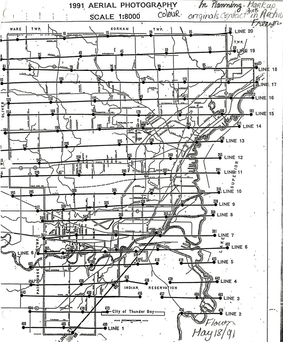
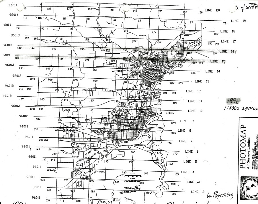
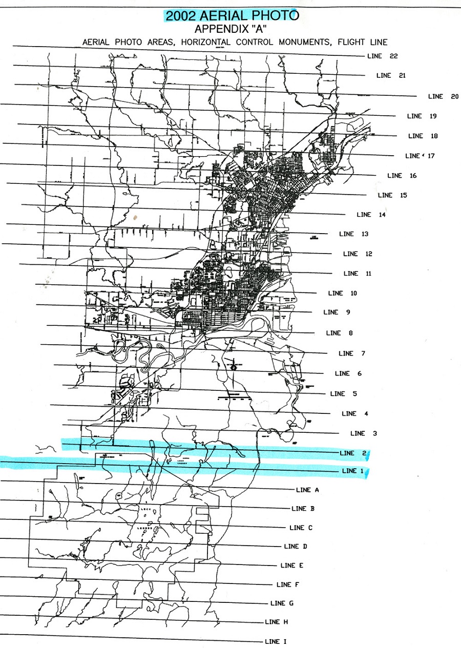
Aerial photographs were taken of large portions of Fort William, Port Arthur, and Thunder Bay on a regular basis, from 1949 to the present. These photographs act as a literal snapshot of the buildings, infrastructure, and landscape of the Cities at various points in time.
Index maps to each of the sets of aerial photographs are provided on this page. To consult any individual photograph, contact or visit the City Archives
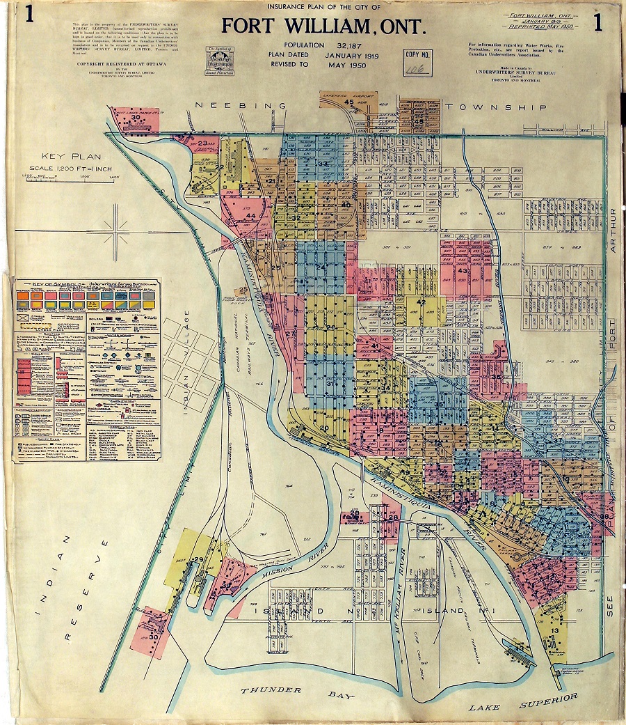
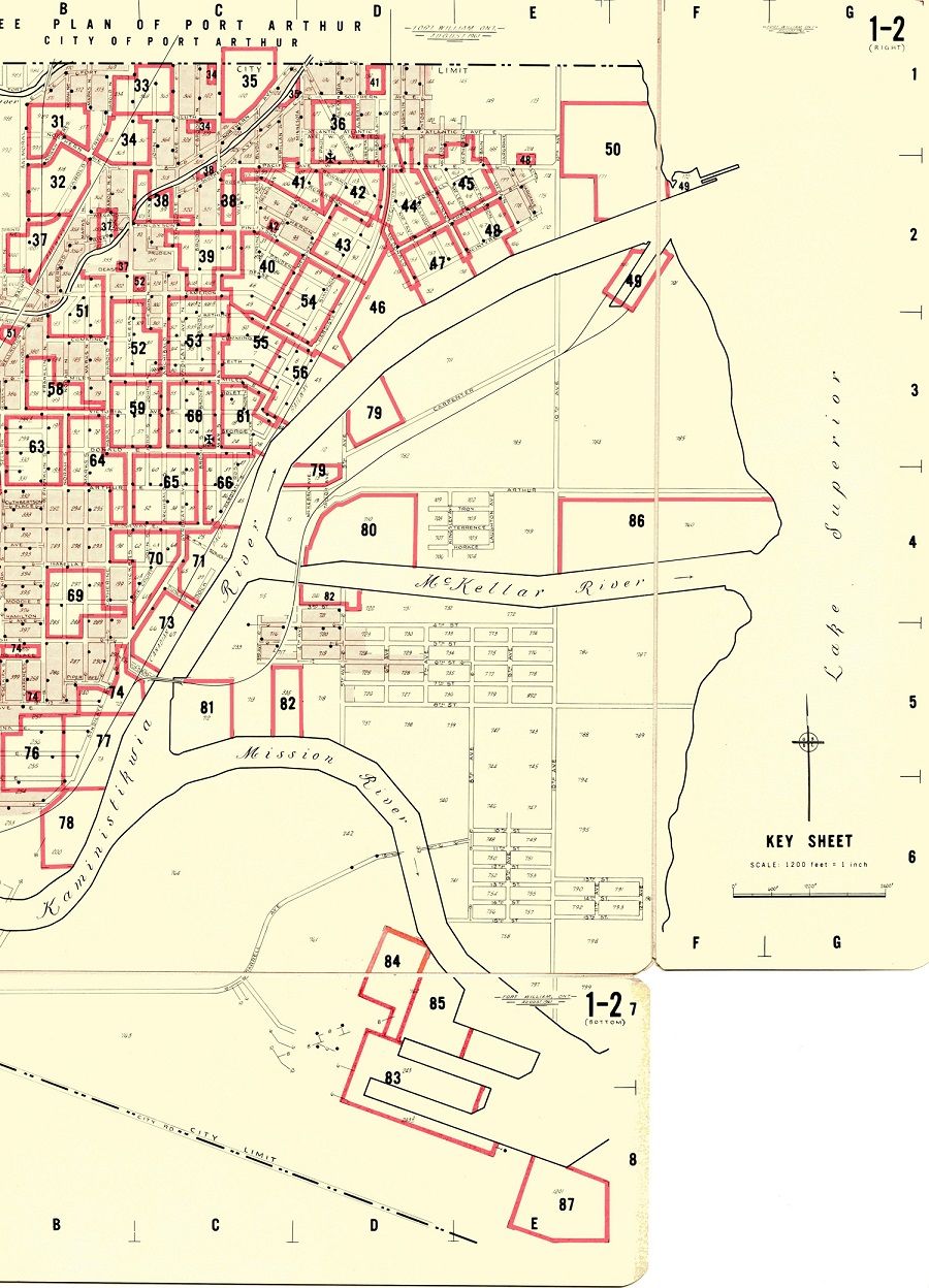
The City Archives has copies of Fire Insurance Plans for Fort William and Port Arthur drawn in several different years. The Fire Insurance Plans show the locations and details of the construction of buildings. These plans can be consulted digitally or on paper at the Archives. To consult any individual photograph, contact or visit the City Archives
Fort William, 1919 (Updated 1950)
Index Map for 1919/1950 Fort William fire insurance plans.
Index Map for 1942 Port Arthur fire insurance plans.
Index Map for 1961 Fort William fire insurance plans.
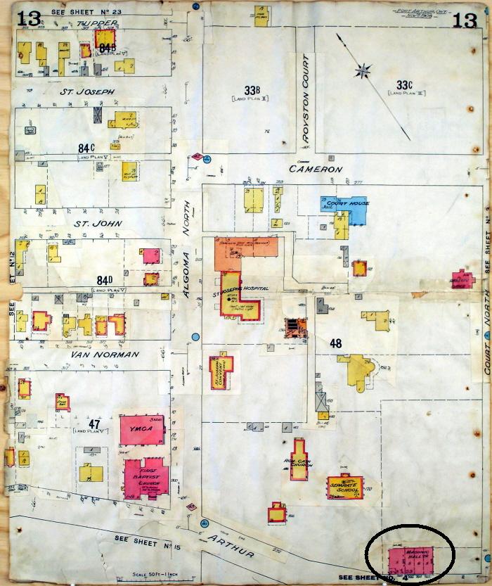
Port Arthur 1908 + Legend for Interpretting Fire Maps
The first Town Hall can be seen in this fire insurance map from 1908, located in the bottom right corner, listed as the Masonic Hall. Fire Insurance Plans were maps of all of the buildings in a location that an insurance company used to assess the risk of fire.
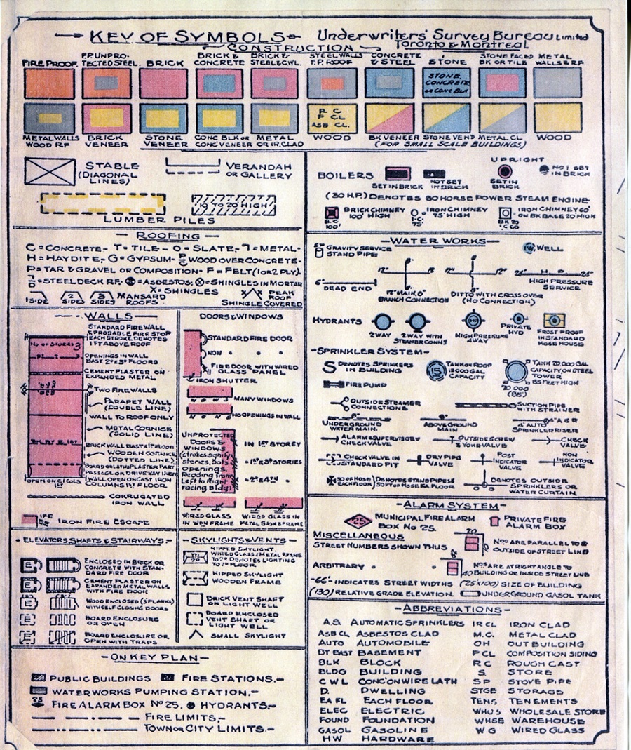
The key for the symbols on the map is provided below.
Contact Us
City Hall:
500 Donald Street E, P.O. Box 800
Thunder Bay, ON P7C 5K4
City Hall: (807) 625-2230
TTY: (807) 622-2225
Sign up to our News & Notices
Stay up to date on the City's activities, events, programs and operations by subscribing to our News & Notices