




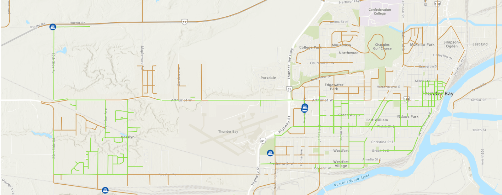


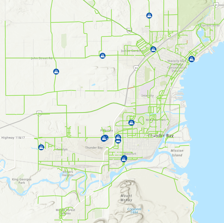
The City of Thunder Bay’s Snowplow Status Map gives you real-time insight into winter road maintenance. During and after snow events, residents can track nearly 40 snowplows and related equipment as they operate across the city. This interactive map shows when streets were last serviced, helping you stay informed and plan safely throughout the winter season.
The map will show the roads that have had no recent servicing and roads that have been serviced within the last 8-24 hours by using various colours as indicated on the map’s legend.
How It Works
Simply open the map, zoom in on your neighbourhood, or search by address. To launch the map, click on the button below.
Contact the Infrastructure & Operations Dispatch at 807-625-2195 if you have concerns or questions regarding road clearing.
Disclaimer
The information on this map is provided for general mapping purposes only. The Corporation of the City of Thunder Bay does not warrant the quality, accuracy, or completeness of any information contained or depicted herein and that this information is provided “as is”. The Corporation of the City of Thunder Bay will not be liable or held responsible for the use or misuse of information or material depicted on this map, or any loss or damage resulting thereof.
This map does not include information for Regional, Private or Unassumed Roads.
Contact Us
 Connect