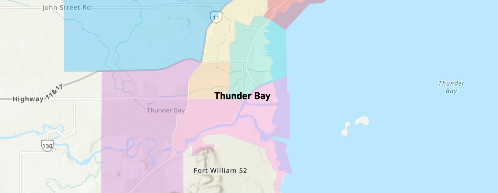
Looking for a nearby park, pool, or community centre? Want to find out where to recycle, walk your dog, or attend a fitness class? Use the Neighbourhood Services Map to explore what’s around you.
This interactive map brings together information about City services, facilities, and points of interest all in one place. Whether you’re new to Thunder Bay, planning a visit, or have lived here for years, the map helps you find what you need quickly and easily.
What You’ll Find on the Map
The map includes locations and services, such as:
- Pools, Splash Pads, and Community Centres
- Arenas and Outdoor Rinks
- Administrative Service Offices
- Parks, Playgrounds, Playfields, Courts, and Off-Leash Dog Parks
- Recycling and Waste Facilities (including collection schedule zones)
You’ll also find key community points of interest, including:
- Libraries, Schools, Confederation College, and Lakehead University
- The Thunder Bay Regional Health Sciences Centre
- Thunder Bay International Airport
How It Works
Simply open the map, zoom in on your neighbourhood, or search by address to see nearby services and facilities. Click any icon for more information including locations, hours, and links to related webpages.
This map is designed to help everyone, from residents to business owners to visitors connect with the services and spaces that make Thunder Bay a great place to live, work, and play.

Click to open the Neighbourhood Services Map
Help Us Keep the Map Up to Date
The Neighbourhood Services Map is designed to grow and improve over time, and we’ll need your help!
If you spot an error, missing information, or have a suggestion for something that should be included, please let us know.
Contact Us


