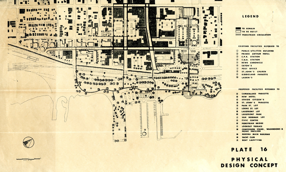
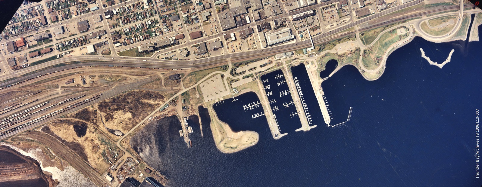
This map of the North area of the Waterfront is part of the Downtown Urban Renewal Scheme Map released in 1967. The Downtown Urban Renewal Scheme proposed that the Waterfront should be developed as a park setting. The map here shows various existing facilities and proposed facilities. On the map the northernmost road depicted is Court Street, the easternmost is Tupper Street, the southernmost is Water Street, and the westernmost is Bay Street.

Contact Us


