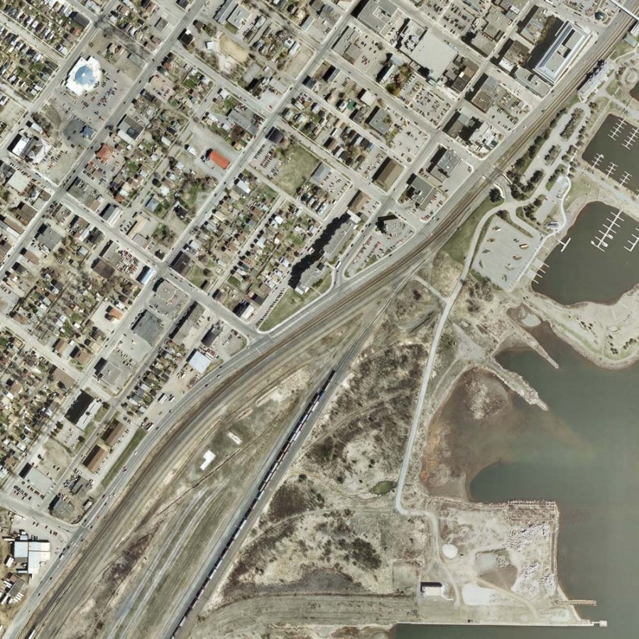
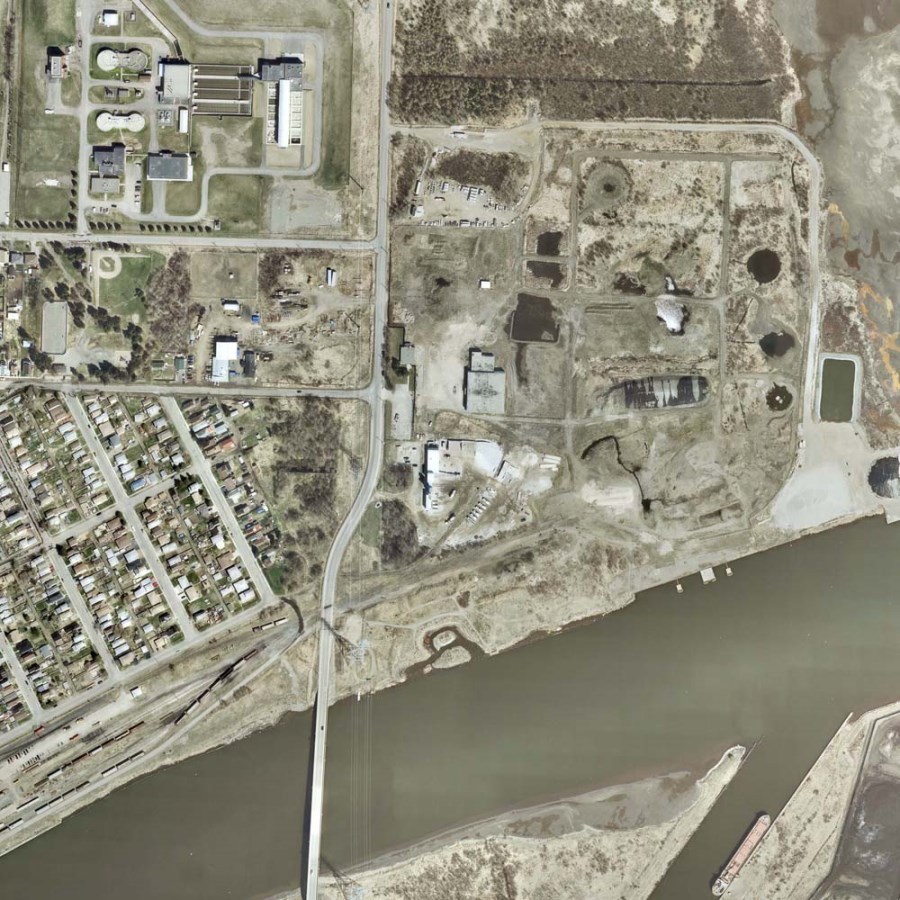
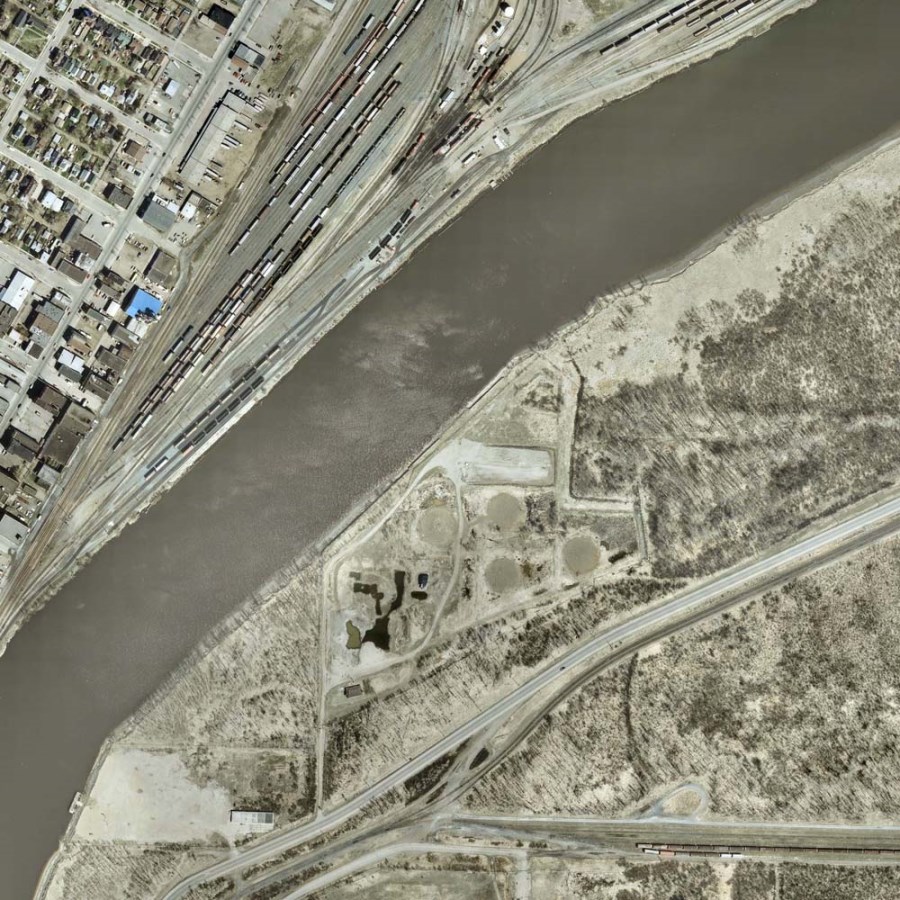
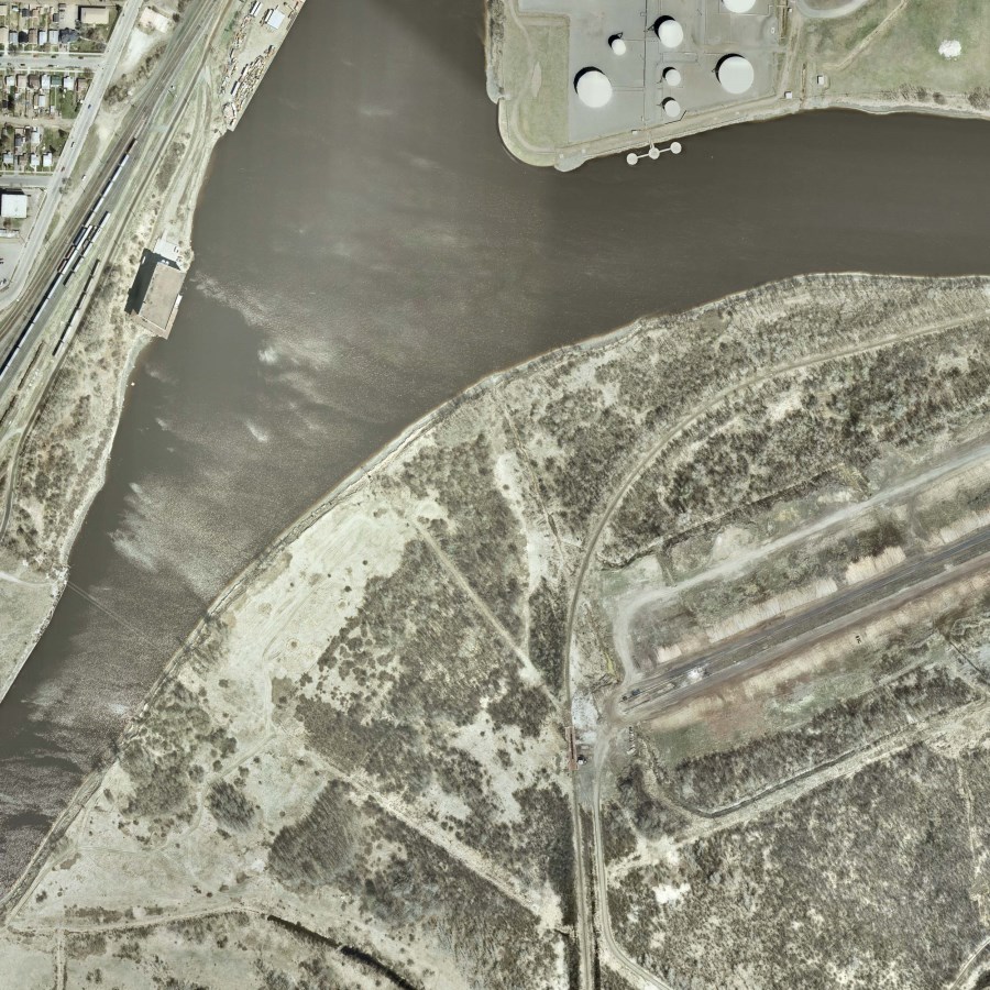
Aerial photographs are any photographs taken from airborne vehicles. They have many practical uses in areas such as map compilation, urban and rural planning, environmental impact assessment, property appraisal, construction progress documentation, outdoor recreation, research, and art. Aerial photographs can have an advantage over maps as they can be updated more frequently, are easier to create and reproduce, can be taken in remote locations, and clearly show development in an area over time.
Port Arthur Waterfront, 1959 |
|
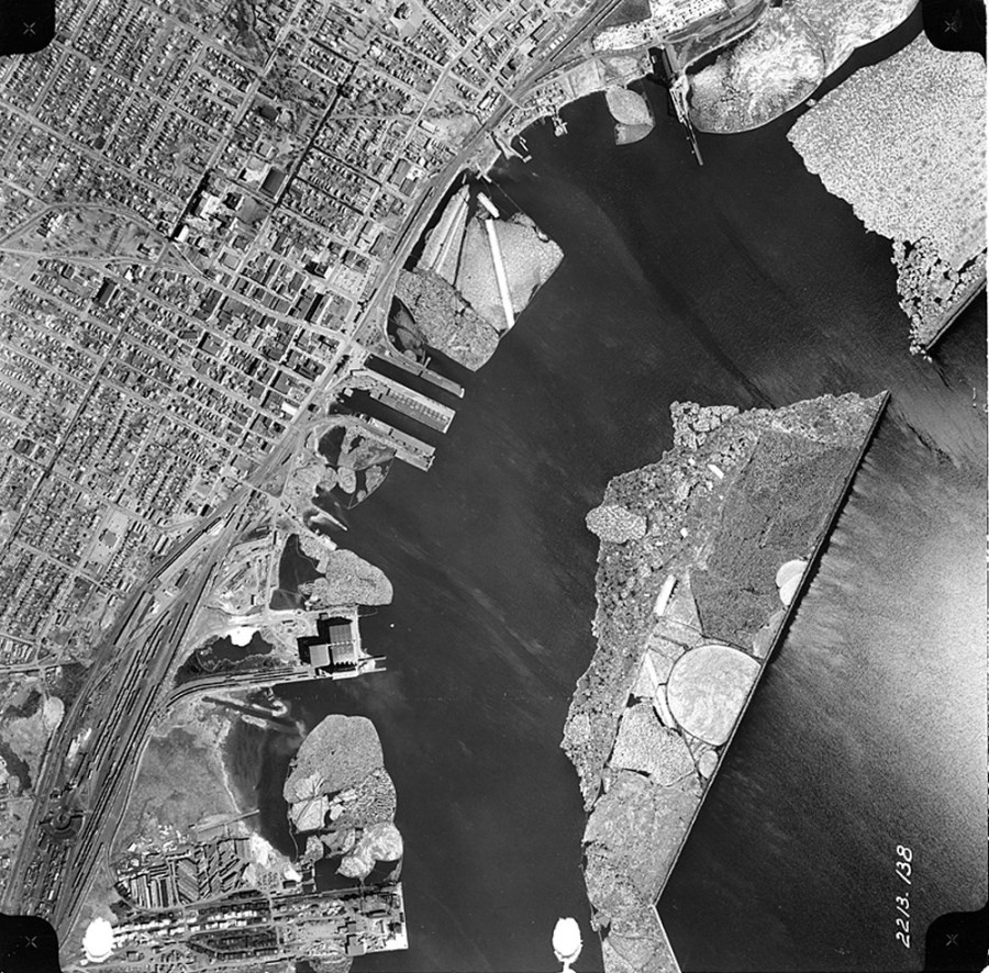
This is an aerial photograph of the Port Arthur Waterfront in 1959.
Image Title: TB 1959 138 City of Thunder Bay Series Number: 92 |
Fort William Waterfront, 1969 |
|
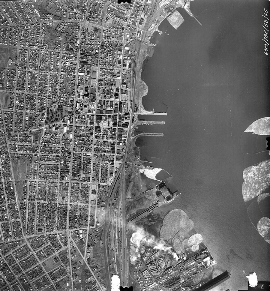
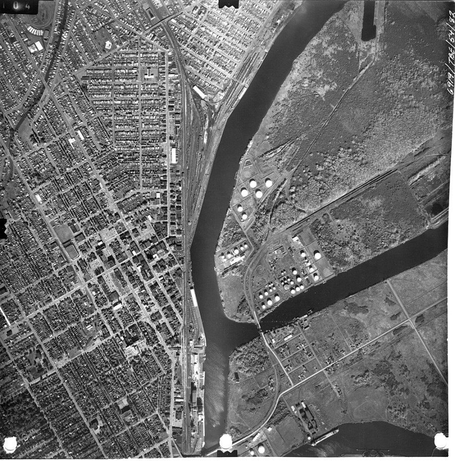
An aerial photograph of the Fort William Waterfront in 1969, showing the Kaministiquia River and the McKellar River.
City of Thunder Bay Series Number: 92 |
Thunder Bay Waterfront, 1974 |
|
An aerial photograph of the Thunder Bay North Waterfront in 1974.
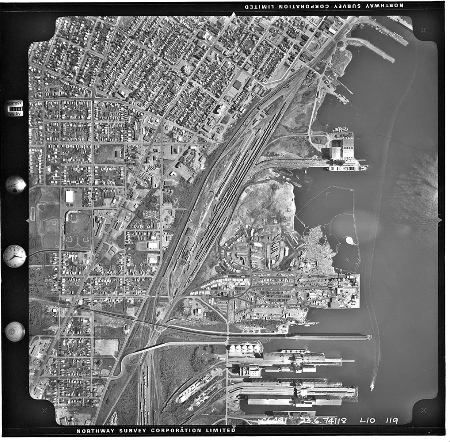
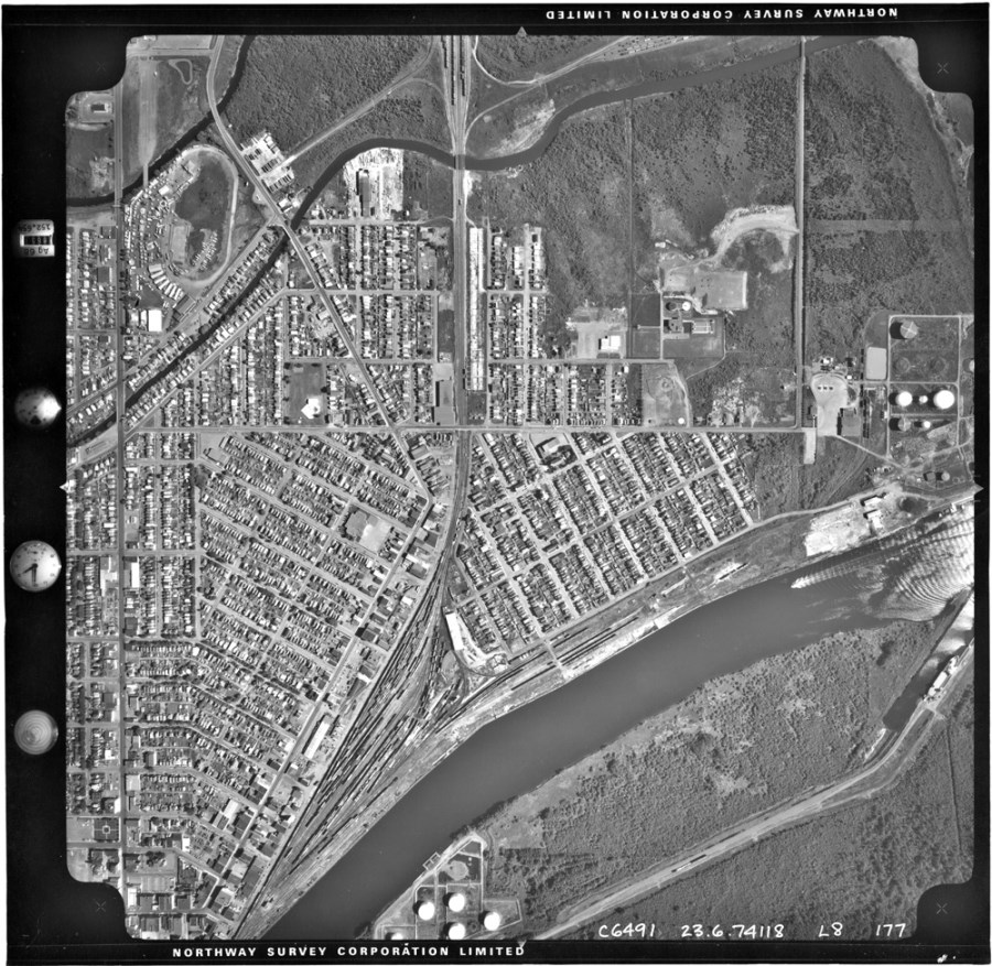
An aerial photograph of the Thunder Bay South Waterfront in 1974. The mouth of the Kaministiquia River can be seen on the right side of the photograph. As shown, McNaughton Street and Carpenter Street run parallel to the Kaministiquia River.
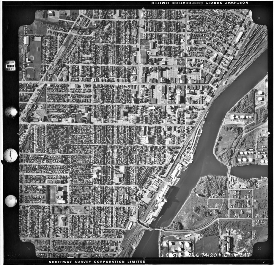
An aerial photograph of the Thunder Bay South Waterfront in 1974. The Kaministiquia River and McKellar River intersect in the center of the photograph.
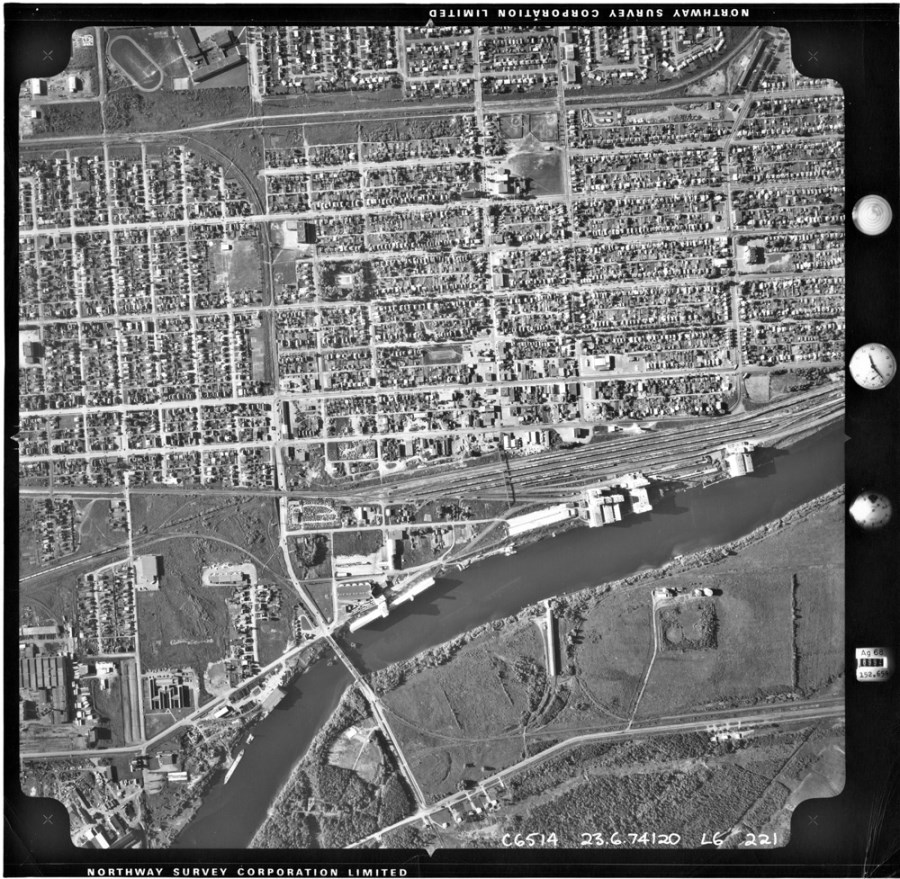
An aerial photograph of the Thunder Bay South Waterfront in 1974. The James Street bridge is visible in the centre of the photograph.
Image Titles: TB 1974 L10-119, TB 1974 L7-247, TB 1974 L6-221, TB 1974 L8-177 City of Thunder Bay Series Number: 92 |
Thunder Bay Waterfront, 1976 |
|
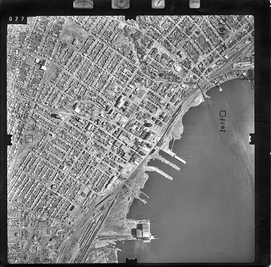
An aerial photograph of the Thunder Bay North Waterfront. These photographs were taken October 8, 1976.
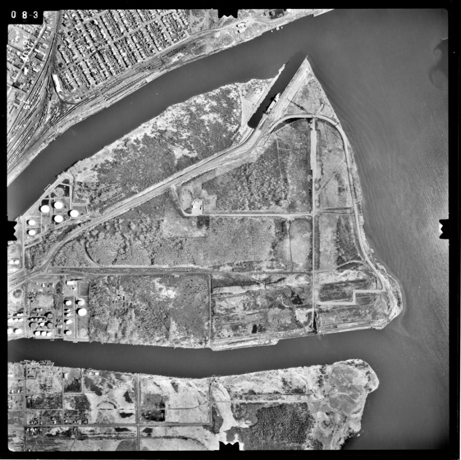
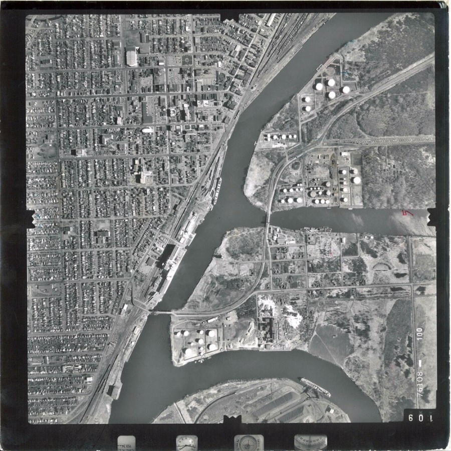
A 1976 aerial photograph of the Thunder Bay South Waterfront. The image shows McKellar Island, the Kaministiquia River, and the McKellar River.
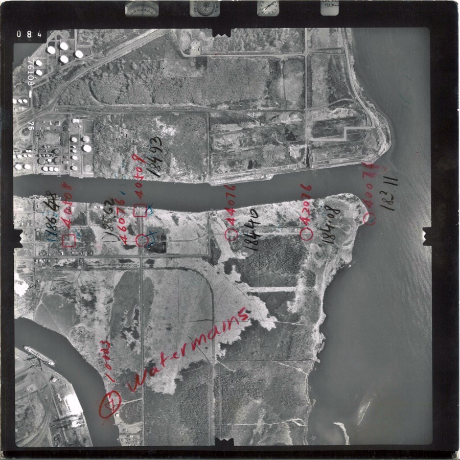
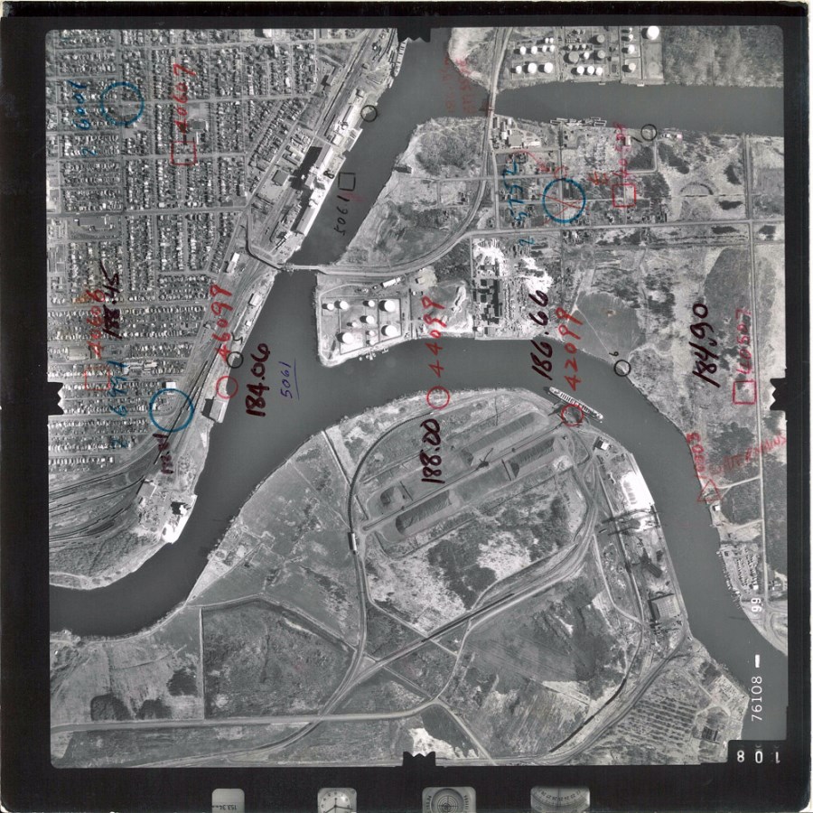
A 1976 aerial photograph of the Thunder Bay South Waterfront. This photograph shows Mission Island and the McKellar River. The handwritten numbers list elevations.
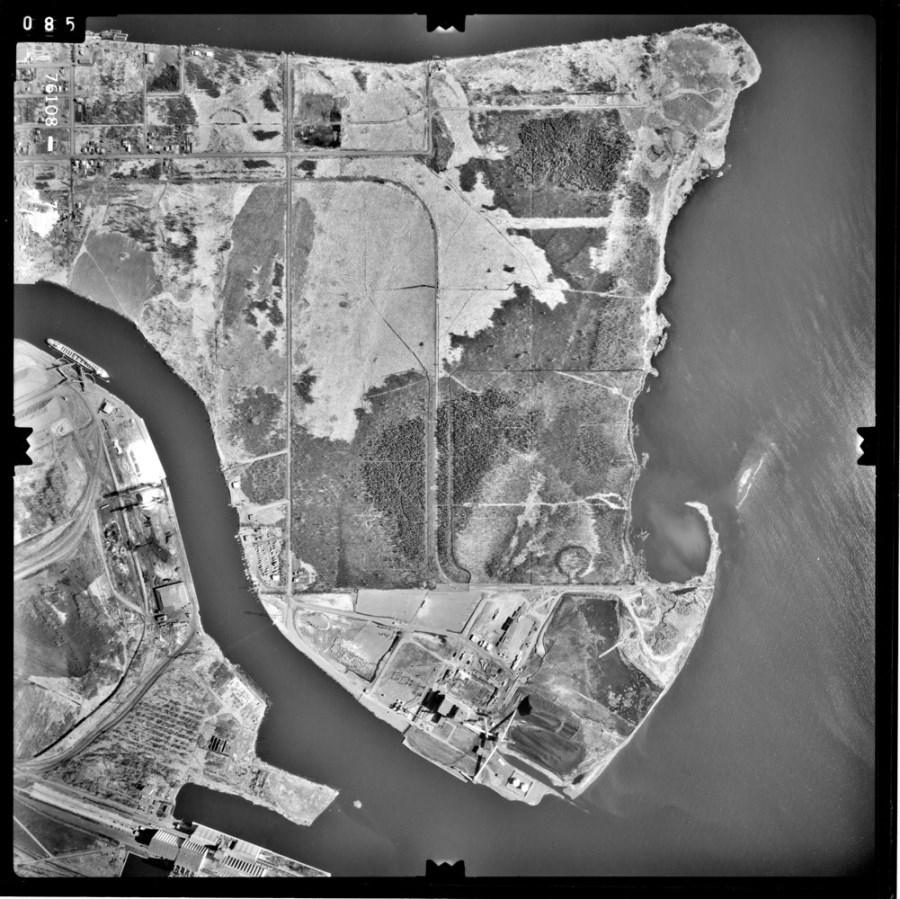
A 1976 aerial photograph of the Thunder Bay South Waterfront, showing Mission Island.
A 1976 aerial photograph of the Thunder Bay South Waterfront. This photograph depicts the Kaministiquia River and the McKellar River, as well as both McKellar Island and Mission Island.
A 1976 aerial photograph of the Thunder Bay South Waterfront. The handwritten numbers list elevations.
Image Titles: TB 1976 L5-69, TB 1976 L5-75, TB 1976 L5-76, TB 1976 L5-77, TB 1976 L6-100, TB 1976 L6-99 City of Thunder Bay Series Number: 92 |
Thunder Bay Waterfront, 1981 |
|
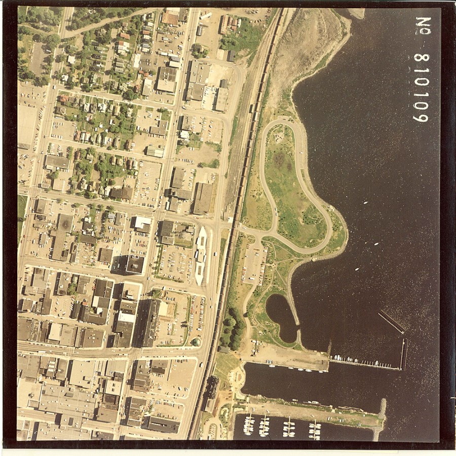
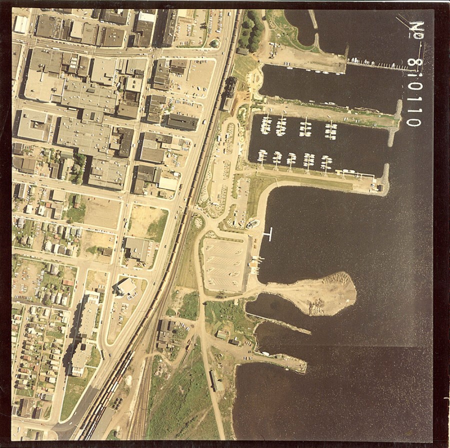
These are aerial photographs of the Thunder Bay Waterfront in 1981.
Image Title: TB 1981 109, TB 1981 110 City of Thunder Bay Series Number: 92 |
Thunder Bay Waterfront, 1983 |
|
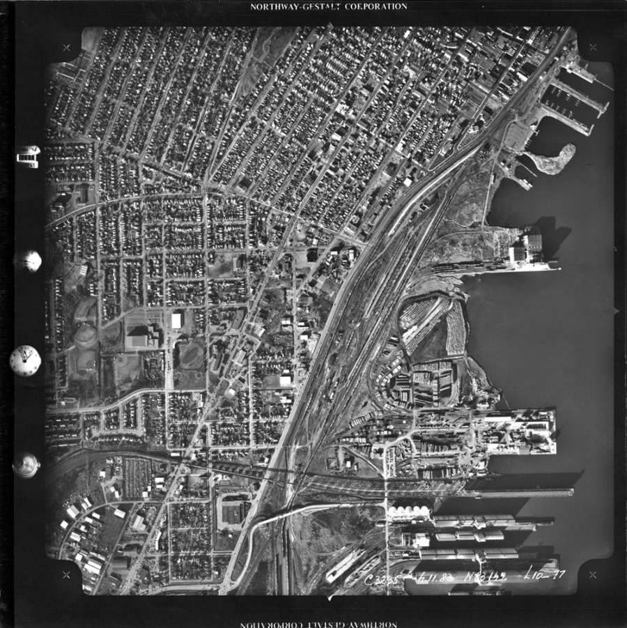
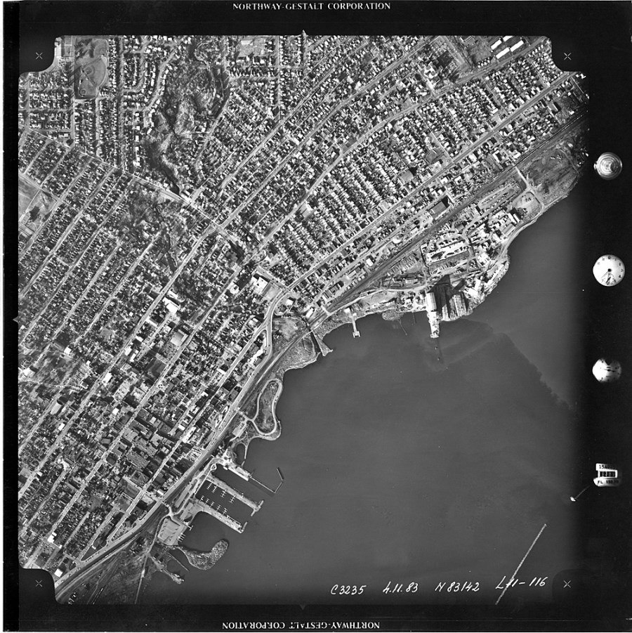
These are aerial photographs of the Thunder Bay in 1983.
Image Title: TB 1983 L10-77, TB 1983 L11-116 City of Thunder Bay Series Number: 92 |
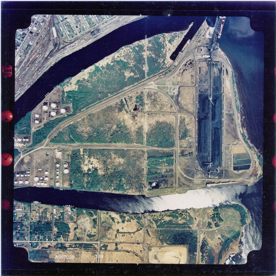
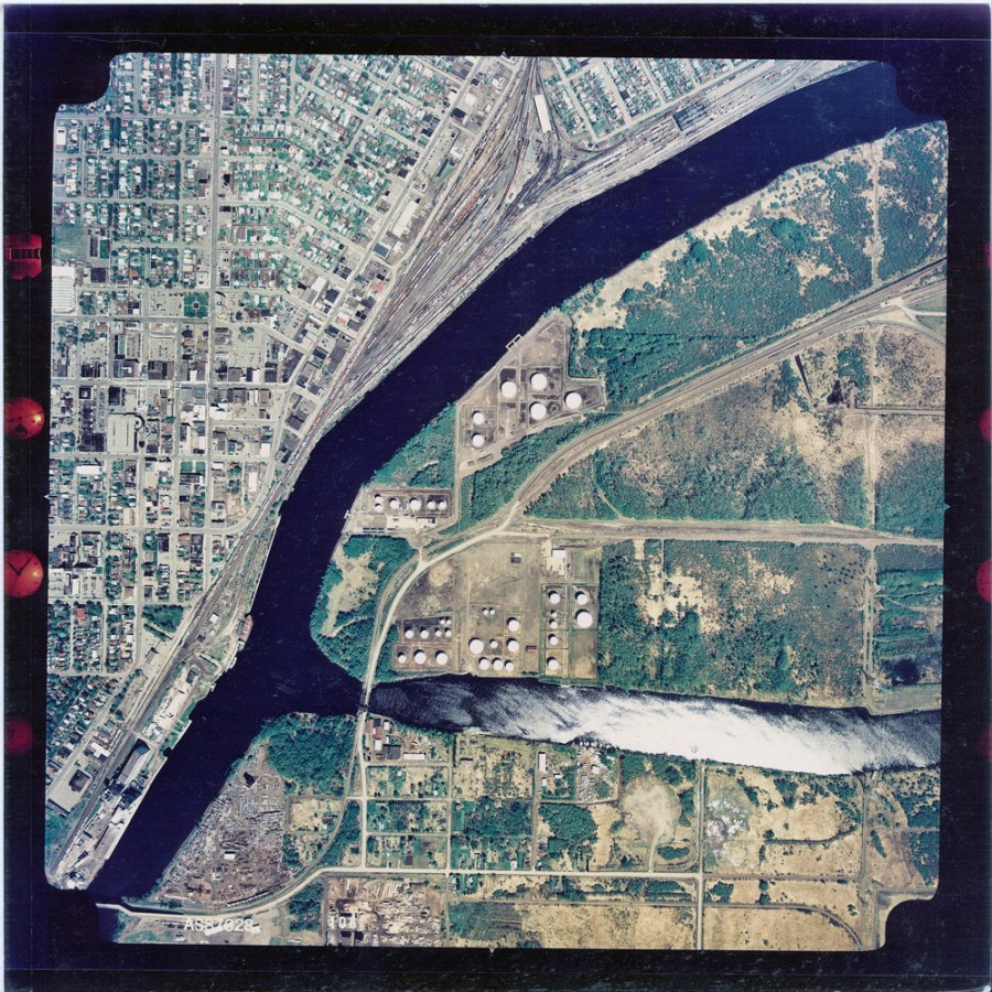
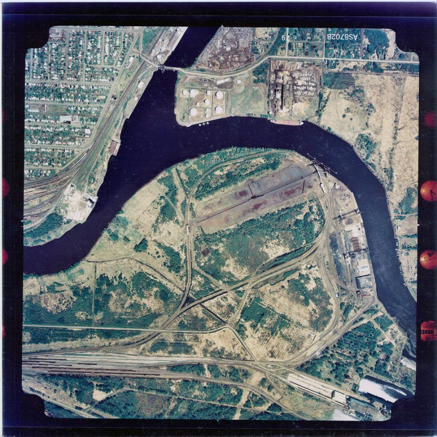
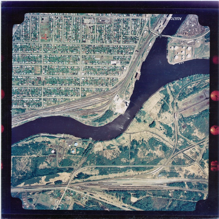
Thunder Bay Waterfront, 1987 |
|
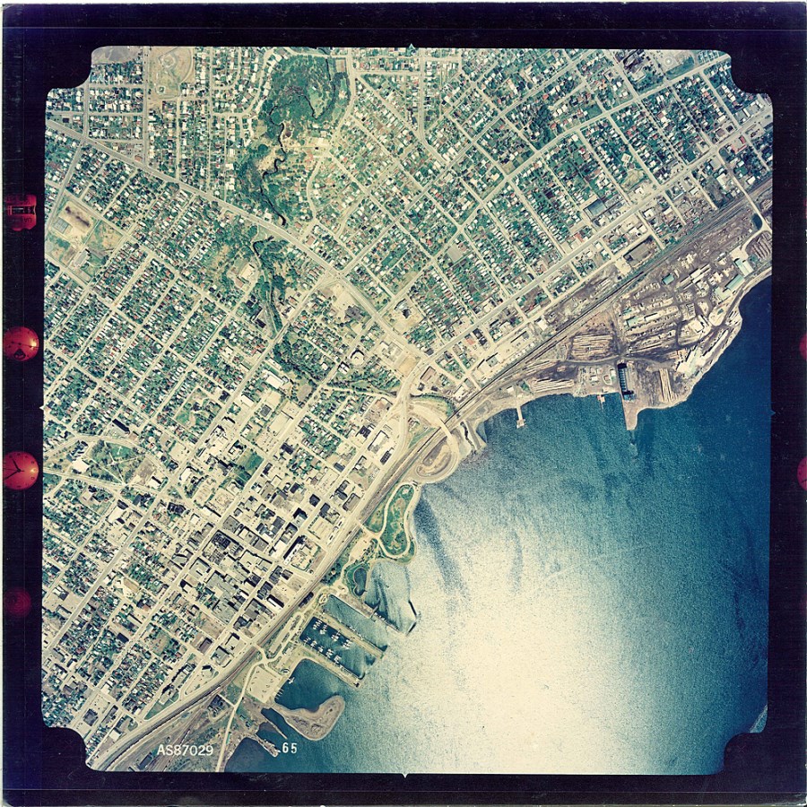
An aerial photograph of the Thunder Bay North Waterfront taken in 1987.
A 1987 aerial photograph of the Thunder Bay North Waterfront.
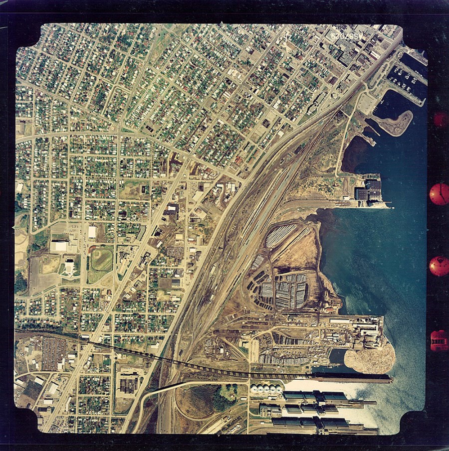
A 1987 aerial photograph of the Thunder Bay South Waterfront. This image shows McKellar Island.
An aerial photograph of the Thunder Bay South Waterfront taken in 1987. It shows the intersection of the Kaministiquia River and the McKellar River.
An aerial photograph of the Thunder Bay South Waterfront taken in 1987. It shows the southwest corner of Mission Island and the Kaministiquia River.
An aerial photograph of the Thunder Bay South Waterfront taken in 1987. It shows the southwest corner of Mission Island and the Kaministiquia River.
Image Titles: TB 1987 L6-65-N, TB 1987 L7-26-N, TB 1987 L10-109-N, TB 1987 L10-108-N, TB 1987 L11-79-N, TB 1987 L11-80-N City of Thunder Bay Series Number: 92 |
Thunder Bay Waterfront, 1996 |
|
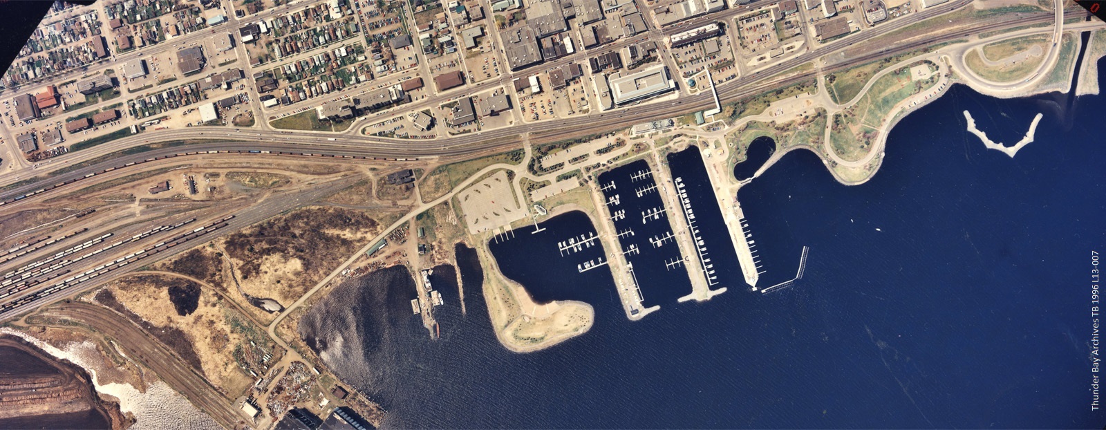
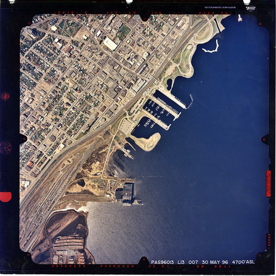
An aerial photograph of the Thunder Bay North Waterfront taken in 1996.
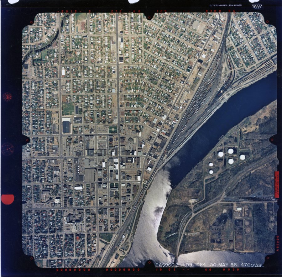
An aerial photograph of the Thunder Bay South Waterfront in 1996, showing the intersection of the Kaministiquia and McKellar Rivers.
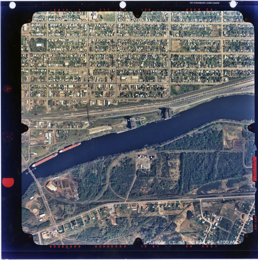
An aerial photograph of the Thunder Bay South Waterfront in 1996. The James Street bridge, visible in the bottom left corner, stretches over the Kaministiquia River.
|
Thunder Bay Waterfront, 2002 |
|
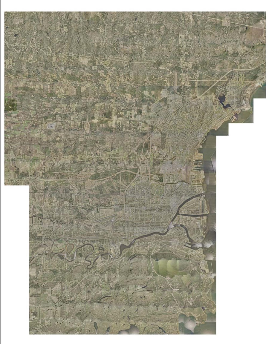
A 2002 composite image of the Thunder Bay area and Waterfront.
An aerial photograph of the north area of the Thunder Bay Waterfront in 2002.
An aerial photograph of the north area of the Thunder Bay Waterfront in 2002.
An aerial photograph of the south area of the Thunder Bay Waterfront in 2002.
An aerial photograph of the south area of the Thunder Bay Waterfront in 2002.
An aerial photograph of the south area of the Thunder Bay Waterfront in 2002.
An aerial photograph of the south area of the Thunder Bay Waterfront in 2002.
These photographs have been provided to the Archives by the City of Thunder Bay Planning Division. |
Thunder Bay Waterfront, 2007 |
|
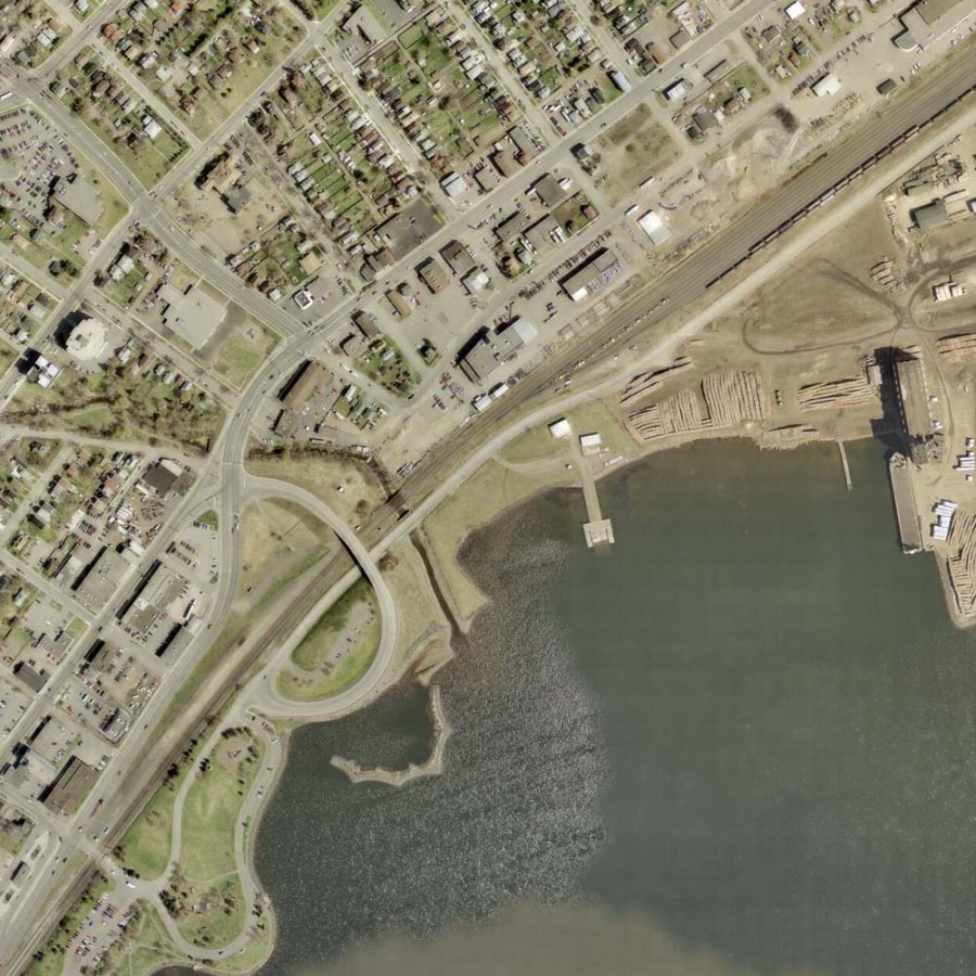
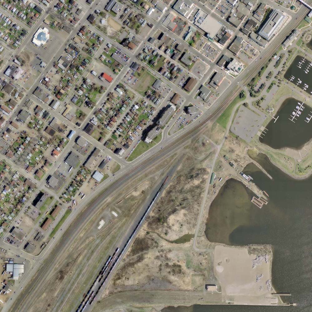
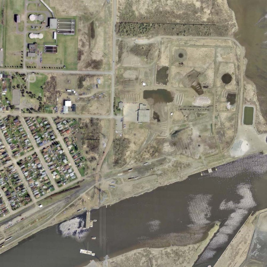
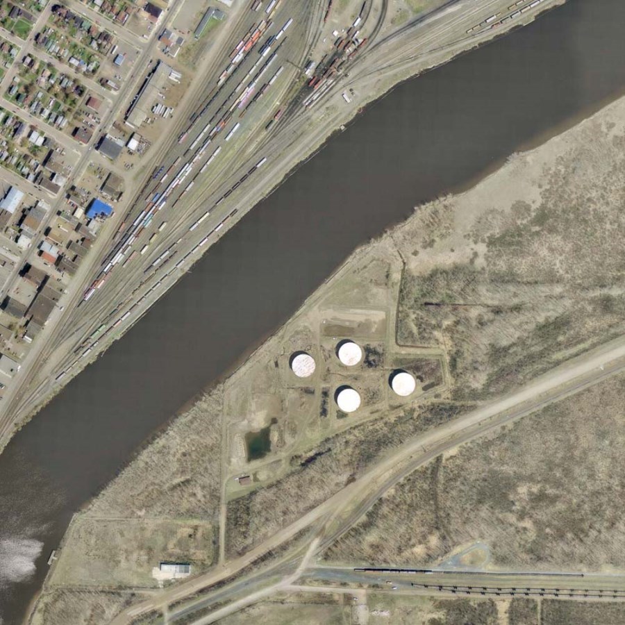
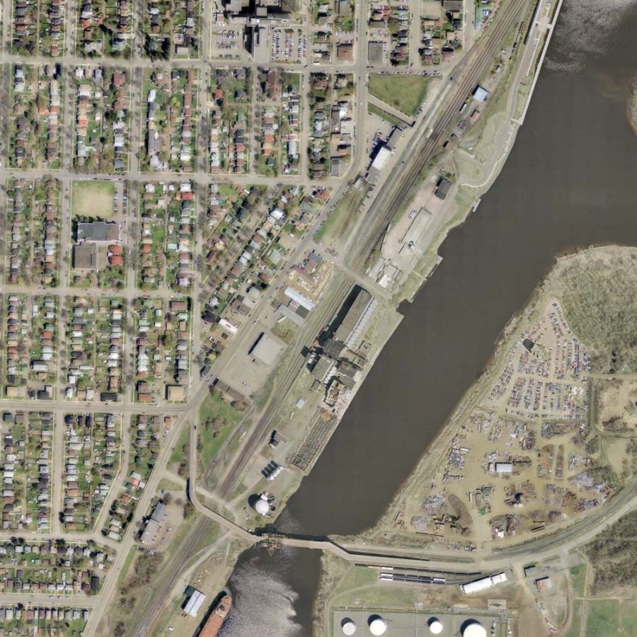
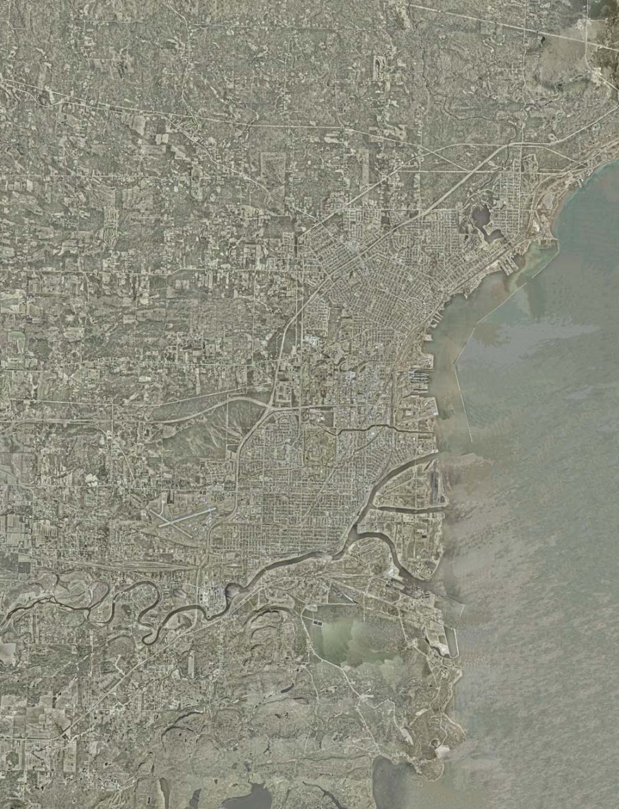
A composite aerial photograph of the City of Thunder Bay and its waterfront in 2007.
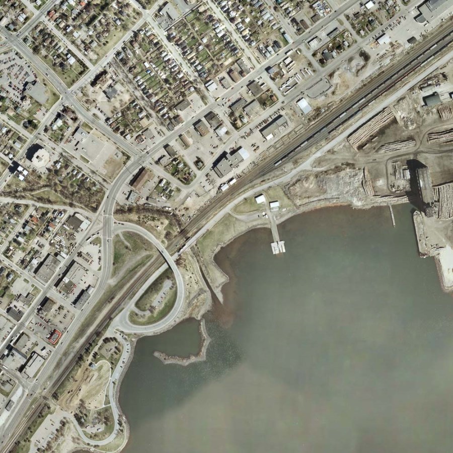
An aerial photograph of the north area of the Thunder Bay Waterfront in 2007.
An aerial photograph of the north area of the Thunder Bay Waterfront in 2007.
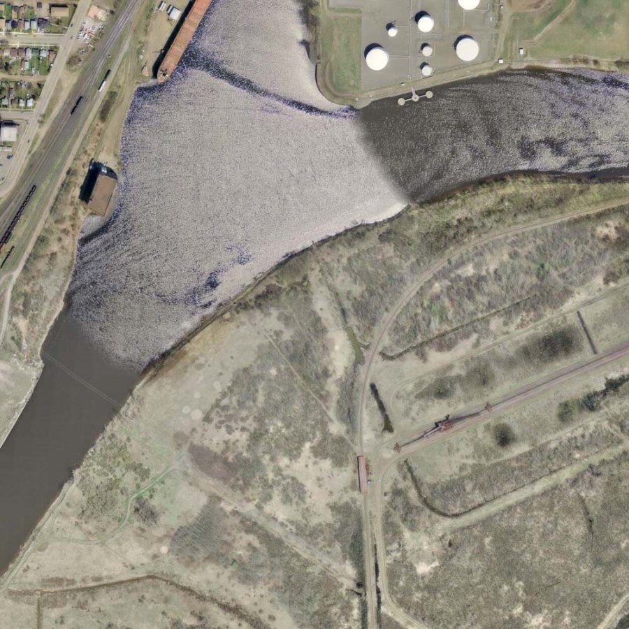
An aerial photograph of the south area of the Thunder Bay Waterfront in 2007.
An aerial photograph of the south area of the Thunder Bay Waterfront in 2007.
An aerial photograph of the south area of the Thunder Bay Waterfront in 2007.
An aerial photograph of the south area of the Thunder Bay Waterfront in 2007.
These photographs were made available to the Archives for this exhibit by the City of Thunder Bay Planning Division. |
Interesting features to note:
- the relocation of docks
- the development of roads
- the construction of buildings
- the changing landscape of the Marina
- additions to boating facilities
The Thunder Bay Harry Kirk Archives and Records Centre preserves and digitizes the aerial photographs of the Fort William, Port Arthur, and Thunder Bay areas, and often reproduces older photographs to assist research done by members of the public. The aerial photographs housed in the Archives date back to 1949.
The photos here depict the development of the North and South Waterfront from 1959 to 2007. Photographs from 2002 and 2007, including composite aerials, are shown thanks to the City of Thunder Bay Planning Division.
For more information on this subject, or any other subject of interest, please visit or contact the City of Thunder Bay Archives.
Contact Us


