


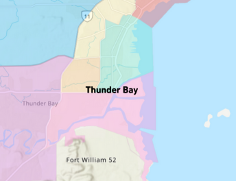
The City of Thunder Bay has launched a new Neighbourhood Services Map, an online interactive tool that helps residents, visitors, and businesses easily find City services, facilities, and community points of interest.
The map brings together a wide range of information into one easy-to-use platform. Users can search by address or zoom in on their neighbourhood to explore nearby amenities such as pools, splash pads, community centres, outdoor rinks, and off-leash dog parks.
“This project is part of our commitment to making City information more accessible, which is in line with our Corporate Digital Strategy,” said Jack Avella, Director of Corporate Information Technology. “By combining data from across the corporation into one interactive map, we’re helping people find what they need quickly and easily.”
The map also includes key public points of interest such as schools, libraries, the Thunder Bay Regional Health Sciences Centre, Confederation College, Lakehead University, and the Thunder Bay International Airport.
The project’s goal is to make City information more user-friendly while providing a visual, location-based tool for residents and visitors alike.
Residents are also encouraged to be part of the map’s ongoing development. If users spot an error, missing information, or have a suggestion, they can submit feedback through an online form.
“This is very much a living tool, and we’ll continue to refine and expand it based on community feedback,” said Shawna Fowlds, GIS & Data Coordinator. “It’s about helping people discover what’s around them and making it easier to connect with their neighbourhood.”
The Neighbourhood Services Map is available at www.thunderbay.ca/ServicesMap
An explainer video showing how to use the map is also available online.
-30-
Contact: Jack Avella, Director, Corporate Information Technology – 807-625-2945Contact Us