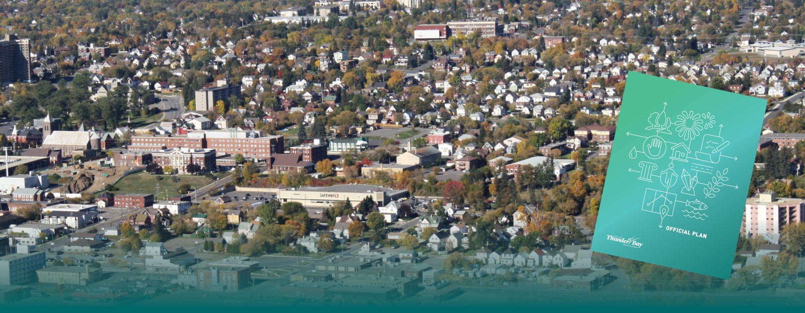
The Official Plan is our City's key land use document. This plan plays an important role in the development of our City. It describes what kind of community we want to become in the future. It sets goals, objectives, and policies which guide our land use planning decisions. Everything the City does related to land use needs to conform to the Plan. That includes passing any by-laws and undertaking any public works.
The Plan contains several chapters which describe many land use systems and areas. It also contains figures, appendices, and maps called schedules. These maps sort land into various categories known as designations. The text of the Official Plan has policies relating to each land use designation.
Thunder Bay's Official Plan was updated in 2019. The vision for Thunder Bay is a city that is healthy, safe, successful, and adaptable. The Plan uses four approaches that speak to the climate, the economy, the community, and the natural environment.
The Zoning By-law is one of the many tools used to implement this vision. The Zoning By-law contains regulations about what you can and cannot do with land. Find more information about the Zoning By-law on our Zoning page
For more information, please email Planning Services or call 807-625-2216.
Official Plan |
View the City of Thunder Bay Official Plan SchedulesText and Figures
|
Studies and guidelines |
Urban Design and Image Route GuidelinesThe City of Thunder Bay has two documents that guide the design of private and public lands. These are the Urban Design and Image Route Guidelines. Guidelines for studies and reportsThe Official Plan lists many studies and reports that you may need to provide for planning applications. Staff are working on guidelines to help you with these studies and reports. Until these are ready, please see Planning Services for help. |
Contact Us


